
Gallatin Neighbors in Public Records
Public records can describe the land around a Gallatin address, the owner shown on an assessment, a recorded transfer, or civic activity connected to a parcel. They do not create a complete list of the people on a block. The source, date, and role should remain attached to every result. Start with the parcel map, then use the assessor and Register when the question is about ownership or a recorded transfer.
| Block source | What it can show | Access and limit |
|---|---|---|
| Sumner GIS | Parcel geometry, frontage, adjacent polygons, and map context | Public interactive viewer; live tools and fields vary |
| E911 address layer | Assigned address points and geometry | Public ArcGIS service, not a resident list |
| TPAD assessor | Assessed owner, parcel, class, sale date, and possible mailing detail | Public current assessment; not every occupant |
| Register of Deeds | Recorded transfers and legal descriptions | Web or counter; older work may need microfilm |
| Voter tools | Individual registration match or permitted geographic file | Public form is not a block roster; full file has legal conditions |
| City civic records | Planning actions, street changes, projects, and watch guidance | Agenda Center and city pages; no association member directory found |
For neighbors on a Gallatin block, parcel adjacency is the first fact to establish. A map can show which parcels touch or share frontage. It cannot prove that the persons named in other records live next door, know one another, or receive mail at the location.
Read Gallatin Neighbor Address Layers
Sumner County GIS is the map route for a block question. Search an address or browse to the street, then click the target parcel and review the nearby geometry. The Gallatin ArcGIS service supplies a verified E911 address layer. It helps check the location of an assigned address before linking the parcel to the assessor or a deed. It is an addressing source, not evidence of current residents.
The official Sumner County E911 address feature service is shown below.
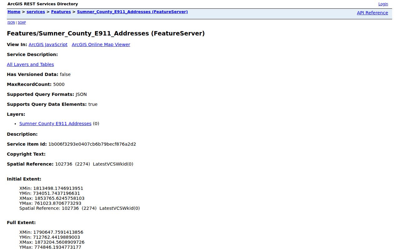
Addressing is especially useful when a parcel shape, street segment, or frontage needs confirmation. The viewer's full layer list and any buffer or measure control were not verified in the static review, so do not assume those tools are available until checked live.
Map Gallatin Neighbor Parcels
Use the same close map view to trace parcels that share a boundary or frontage with the target. Include parcels behind a frontage lot, common-drive parcels, intersections, and alleys when the question concerns the whole immediate block. The practical output is a parcel list, not a list of presumed residents.
- Locate the target address in Sumner County GIS and confirm the E911 address point and parcel boundary.
- Click each touching or frontage-sharing polygon. Record its parcel ID, street address, and any owner link shown before moving on.
- Search each parcel ID, owner name, or address in TPAD. Retain the property address, assessed owner, sale date, and any tax-roll mailing detail as separately labeled fields.
- Use the Register of Deeds only when a recorded transfer or legal description needs confirmation. Follow the legal description rather than guessing from a street number.
Map labels and owner names need a second check. Parcel geometry establishes adjacency, but not a social relationship between Gallatin neighbors. For a full street-by-street address chain, use the Gallatin By Street directory.
Separate Gallatin Owners From Occupants
The assessor's Property Address is the physical situs of the parcel. The owner or tax-roll mailing address is where the tax bill and correspondence go. Those addresses can be in different cities or belong to an estate, entity, manager, or other off-site owner. A homestead or exemption indicator can be a clue about owner occupancy, but it is not conclusive proof of every person present at the property.
Use precise labels: an assessed owner is not automatically an occupant; a deed grantee is not automatically the current owner; a voter registrant is not a count of everyone at an address; and a permit applicant may be a contractor. This distinction keeps a neighbor search from turning a single public record into an unsupported claim.
Use Gallatin Neighbor Voter Records
Tennessee Voter Lookup is an individual confirmation tool. GoVoteTN also has an address route that uses Street Address and ZIP Code, although the complete dynamic controls and result fields were not captured. Neither public form is an anonymous street directory. A returned match can provide a registration clue, status, precinct, or address information as displayed, while protected participants may use a substitute address.
Sumner Elections can sell voter data under TCA §2-2-138 for political purposes through a written order, identification, fees, and selected format. The county states that the file contains no Social Security numbers. Even a permitted geographic file is not a complete block roster. Its status values can change through routine list maintenance and do not establish that someone moved or died.
Find Gallatin Neighborhood Watch Contacts
Gallatin's documented community route is Neighborhood Watch. The city says residents can call to start a watch, use the National Neighborhood Watch action pack, register for crime notifications, and join an online forum. The official city material does not publish a general neighborhood-association or HOA membership roster. Request a public contact channel from a specific group rather than seeking a private member list.
| Community resource | Verified purpose | Public contact route |
|---|---|---|
| Gallatin Neighborhood Watch | Starting or joining a watch, notifications, and forum information | City Neighborhood Watch page |
| The Banks at Lock 4 HOA | Planning record identifies responsibility for sidewalks and greenways | March 5, 2024 Planning Commission agenda; no roster or public contact was located |
| Other local associations | No city umbrella roster or verified association directory was found | Ask a named association directly for its public contact channel |
The Gallatin Neighborhood Watch page is the source for the city watch guidance.
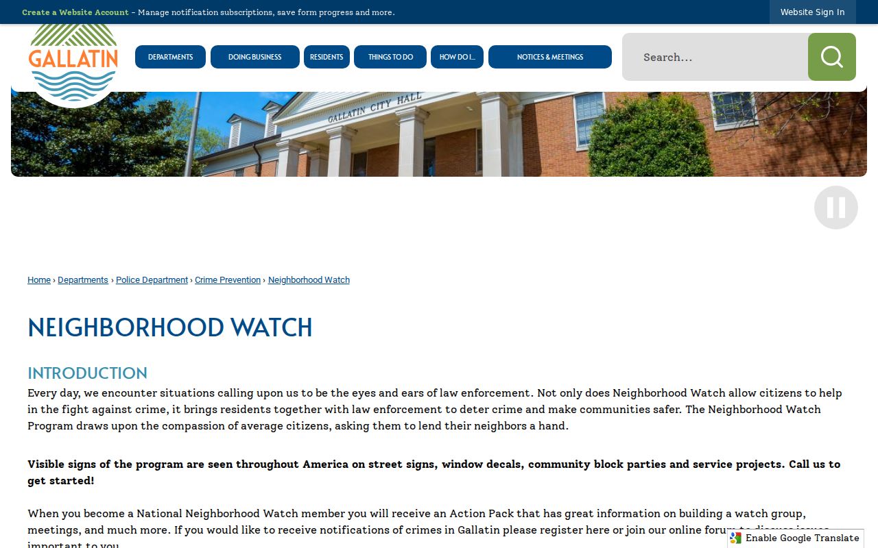
That page supports community communication and safety awareness. It does not identify watch participants or provide a resident list.
Read Gallatin HOA Evidence Carefully
The Banks at Lock 4 HOA appears in a March 5, 2024 Gallatin Planning Commission agenda as responsible for sidewalk and greenway maintenance. That is useful context for a particular development or infrastructure question. It does not establish membership, management contacts, the identity of neighbors, or a broader directory of associations.
City and county records can show a project, governing action, or named organization. They should be read for the specific fact they document. The Chamber directory is a business directory and cannot substitute for an association roster.
Add Gallatin Agenda Context
Gallatin's Agenda Center can add a dated civic layer to a block search. Its visible controls include time period, date range, search terms, category, and a Search button. Categories observed include City Council, Planning Commission, Historic District Commission, Construction Board of Appeals, and Municipal Board of Zoning Appeals. Packets and resolutions can identify a street action, planning applicant, parcel project, or board decision.
The Gallatin Agenda Center provides the search surface pictured here.
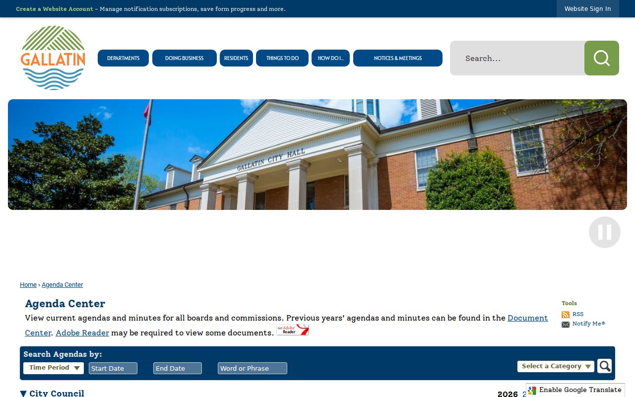
Open the underlying packet before relying on an agenda title. Gallatin's 2026 zoning-code and map update and the 2025 Magnolia Street action are reminders that planning and address context can change over time.
Compare Gallatin Neighbor Sources
Official records and commercial neighbor-lookup tools serve different purposes. An official record is tied to a defined custodian and record type. A commercial tool may assemble public filings, address histories, marketing data, and purchased datasets. It can be useful only as an unverified lead, never as a replacement for the source that created the record.
For a Gallatin block question, write down the source date, parcel or address, and recorded role before comparing results. That small record trail makes it easier to spot a stale address, a same-name mix-up, or a source that never claimed to identify an occupant.
| Official record route | Commercial neighbor-lookup category | Best practice |
|---|---|---|
| Shows a parcel, registration clue, deed, or civic document with a known custodian | May combine old addresses and names from several data sources | Confirm the individual fact with the assessor, Register, Elections, or city record |
| Has a record date and role such as owner, grantee, or registrant | Can conflate same-name people or retain stale entries | Keep the role and date visible; do not turn a lead into an occupancy claim |
| May withhold protected or private material | Cannot override legal limits on protected data | Respect the boundary rather than searching for another route around it |
Gallatin Neighbor Lookup Privacy
Private household-member information does not follow from a parcel card, owner record, or map point. Tennessee Safe at Home can protect eligible participants through substitute addresses. Juvenile, victim, sealed adoption, sealed or expunged court information may also be withheld. DMV, utility, delivery, and private association membership data are not public block-list sources.
Public information may be used for personal, lawful neighborhood curiosity, reconnecting, and civic context, but it is never permission to watch, threaten, or repeatedly contact someone. Tennessee's stalking statute, TCA §39-17-315, treats a course of conduct involving monitoring, following, observing, or threatening seriously. If a record appears wrong, ask the office that holds it about its correction process.
Lawful use. Gallatin neighbor lookups are for personal, lawful research and getting to know the block with care. Never use a result to stalk, harass, intimidate, or harm any person.