
Walk a Gallatin Street by Address
A Gallatin address can lead to a parcel, then to recorded names and older address evidence. It does not produce one official household list. Begin with the Tennessee Property Assessment Data search, selecting Sumner County and entering the property address. The result table can show the assessed owner, physical property address, control map, group, parcel, parcel ID, subdivision, lot, class, and sale date. Save those identifiers before changing searches. They are more durable than a street number when an older deed uses a lot, block, or legal description.
The next steps separate a public owner record from a possible residency lead. The Sumner County GIS Property Search places the parcel along its street and lets a researcher inspect adjoining shapes and frontage. A voter result is only a registration match, not a count of everybody at an address. Deeds establish a recorded transfer, while a reverse directory can supply a historical address-to-occupant lead. Date and role labels matter at every stop.
- Search the address in TPAD and record the property address, current assessed owner, parcel ID, control map, group, subdivision, lot, and sale date.
- Open the same location in Sumner GIS. Confirm the parcel boundary and E911 address geometry, then note nearby parcel IDs without assuming their owners live there.
- Search the current owner as a grantee in the Sumner County Register of Deeds portal. Read the legal description and prior grantor on the matching instrument.
- Use GoVoteTN only for an individual registration check. Its address route uses a street address and ZIP Code; it is not a public street-wide roster.
- For a historical address, ask the Bailey History and Genealogical Room, TSLA, or a Library of Congress catalog for a Gallatin street-address or criss-cross volume by type, place, and year.
Note: Keep a search log with the address spelling, date, parcel key, and source because public records may describe the same property differently.
Search Gallatin Street Directory Records
TPAD is the most direct modern entry point for a Gallatin street directory search because it accepts a property address, owner name, or parcel ID. Select Sumner County first, then try the house number and street. If that fails, remove a directional word or suffix and try again. The research did not establish partial-match rules, a whole-street export, a ZIP filter, or the complete parcel-card field list. Search several known numbers and move to the map instead of assuming the portal can return every property on a road at once.
| TPAD field | Format | What the Gallatin search uses |
|---|---|---|
| County | Dropdown | Select Sumner County before a property query. |
| Search Term | Text | Property address, owner name, or parcel ID. |
| Search | Button | Returns the public result table. |
| Owner and Property Address | Result text | Identifies the assessed owner and the physical situs. |
| Control Map, Group, Parcel | Result text | Local parts of the parcel key. |
| Parcel ID, Subdivision, Lot | Result text | Useful bridge to plats and older legal descriptions. |
| Class and Sale Date | Result text/date | Assessment classification and transfer context where shown. |
The owner mailing address, if it appears on a parcel card, is a tax correspondence address. It can be outside Gallatin. It is not proof that the person occupies the physical property. Likewise, a homestead or exemption indicator can be useful owner-occupancy evidence, but it is not conclusive evidence of the current household.
Map Gallatin Street Parcels on GIS
Use the interactive Sumner GIS viewer after TPAD returns a parcel. Search the address or pan to the street, click the target polygon, and compare the geometry with the address and parcel information. The official Sumner County E911 address layer adds assigned-address geometry. It is an addressing source, not a residents directory.
A Gallatin street directory search benefits from the map because lot lines and road frontage reveal which parcels actually touch the same segment. Click adjacent polygons one at a time and carry each parcel ID back to TPAD or the deed index. The static research did not verify the viewer's full layer list, buffer tool, measure tool, or returned attribute fields. Do not claim a map feature is available until it appears in the live viewer.
- Parcel
- A tract used by the assessor and map systems. Its identifier helps connect a street address to a property record.
- Situs address
- The physical location of the parcel. It differs from an owner's mailing address for taxes or notices.
- Plat
- A recorded map that can show lots, blocks, roads, easements, and a subdivision layout.
- Criss-cross directory
- An address-to-name directory. It is different from a name directory and may help with a past address.
Gallatin Street Record Coverage
Address-keyed sources answer different questions. A parcel card identifies an assessed owner. A deed names parties to a recorded instrument. A permit can identify a project participant. A city agenda packet can connect an address to planning or zoning action. Use the source that fits the question, then retain its access limits and date boundary.
| Gallatin address source | Keeper | Useful fields | Access route |
|---|---|---|---|
| Assessor parcel | Sumner Assessor | Owner, situs, parcel IDs, class, sale date | TPAD web search or office counter |
| GIS and E911 | Sumner GIS / Gallatin ArcGIS | Parcel shape, address geometry, road context | Public map and feature service |
| Recorded instruments | Register of Deeds | Grantor, grantee, date, number, legal description | County portal, USTitleSearch, counter, and older microfilm |
| Registration match | Tennessee / Sumner elections | Name, registration status, and returned address or precinct context | Public lookup; full file has a separate statutory order route |
| Permit and inspection | Gallatin Building Codes | Project, applicant or contractor, dates, and inspection context | CSS account portal, office, or phone |
| Agenda packet | City of Gallatin | Street actions, planning applicants, parcel projects | Agenda Center date, term, and category search |
| Historic address lead | Library, TSLA, or Archives | Past occupant, telephone, or business listing where a volume exists | Catalog, staff request, or in-person research |
A parcel key ties the assessment record to the map and may help interpret a deed. A street name does not make all of these records equivalent. For a verified historical volume rather than a modern property chain, the Gallatin city directories collection route identifies the documented runs and request paths.
Note: The Register, courts, vital records, and city departments keep separate records, so a request sent to the wrong custodian can be correctly declined.
Trace Gallatin Street Deed Chains
The Sumner County Register of Deeds is the recorded-transfer layer for a Gallatin address. Start with the assessed owner as grantee around the TPAD sale date. On the matching deed, preserve the recording date, document or book/page number, grantee, grantor, legal description, and any linked image. Search that prior grantor as a grantee to move backward through the chain. Lot, block, subdivision, acreage, adjoining owners, and metes-and-bounds language can bridge a deed that never uses the current street number.
The county says deed books and indexes date to 1786, all have been digitized, and online certified records reach back to September 1989. Those statements describe different access layers. The Register-linked USTitleSearch route did not expose its dynamic form fields during research, so match the deed carefully rather than guessing at unrendered filters. When the web route stops, use the Register counter and the Sumner Archives deed/deed-index microfilm reported before 1965. Original books remain at the Register.
USTitleSearch, linked by the Sumner County Register of Deeds, is shown below as the online starting point for a document search.
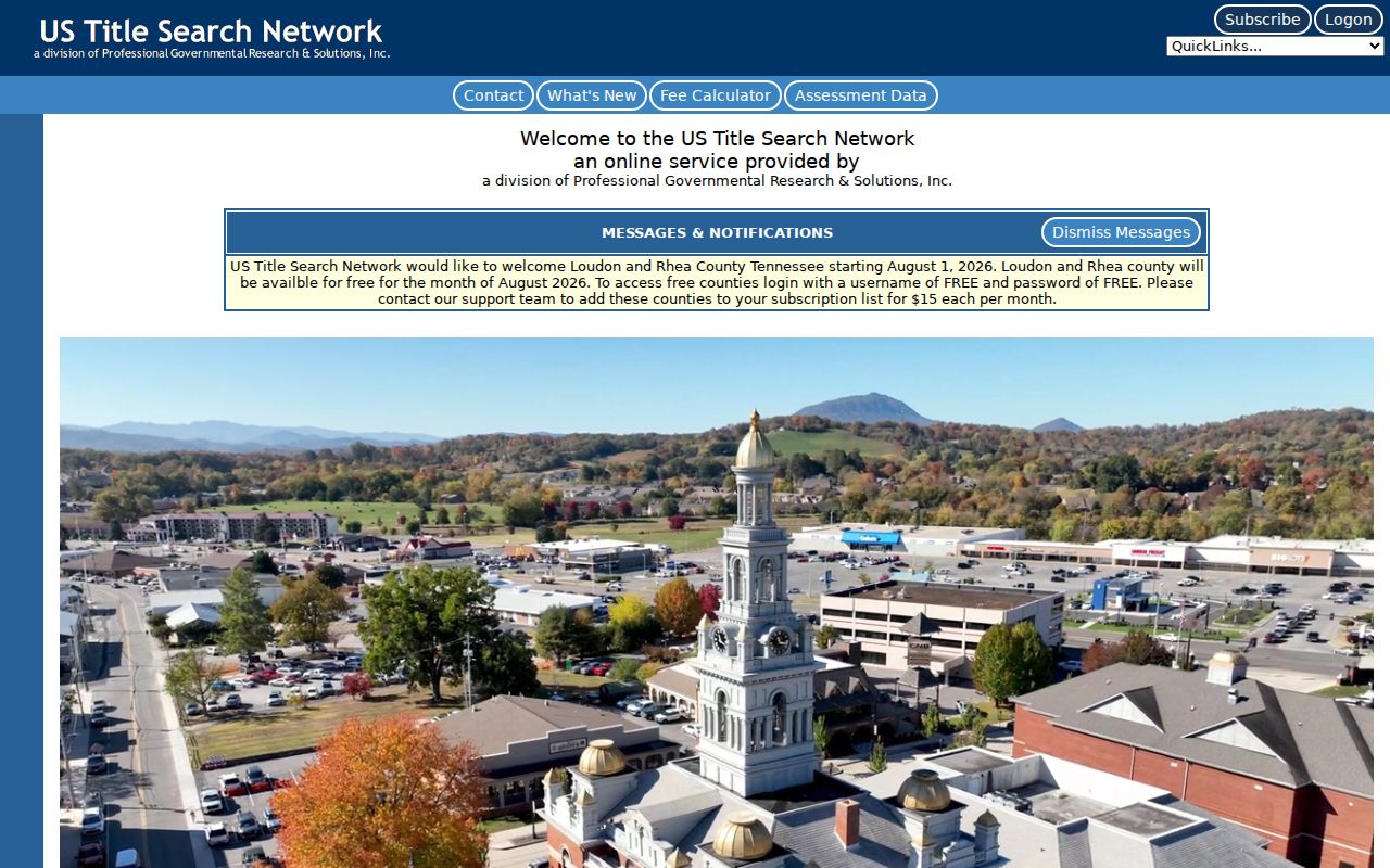
Use a recorded name and legal description from the matching parcel, then verify older instruments at the county office or Archives when the online result is incomplete.
Gallatin Street Names Can Shift
An address miss can be a naming problem rather than a missing record. The Sumner Emergency Communications District addressing guide says addresses generally issue from driveway location, with front-door logic for townhomes. It also explains that out-of-sequence numbers can be reassigned and that street-name changes use a 30-day process. The ECD asks affected residents to notify USPS, utilities, the Assessor, City Recorder, and Register of Deeds after a change.
Gallatin has two documented reasons to search variants. A May 2025 city resolution split Magnolia Street into North and South Magnolia, with an east segment change near Small Street. A 2021 city item described an unofficial Elm Street and Anderson Avenue naming conflict near First Baptist. Search both the earlier and current names, then compare the parcel key and legal description. For an incorporated address, city Planning/Zoning or the Clerk is the local route; Planning and Zoning handles new addresses in unincorporated areas.
Note: USPS delivery geography, E911 assignment, city jurisdiction, and an old deed description may use different labels for the same place.
Gallatin Street Permit Clues
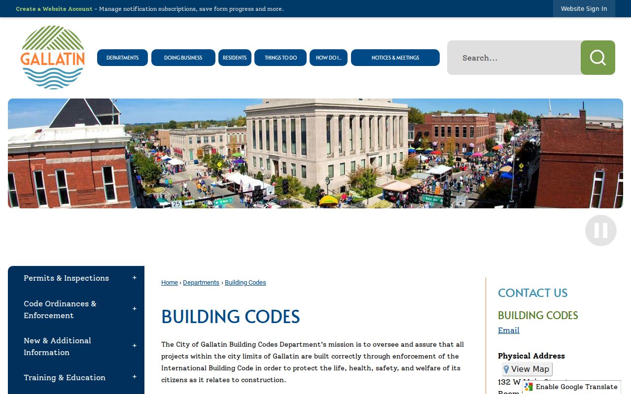
Inside the city limits, Gallatin Building Codes handles permit review, issuance, inspections, and certificates of occupancy. Its CSS self-service portal requires an account and allows users to apply for permits, view permits, pay, and request inspections. The research did not verify anonymous address fields, result columns, a code-case search, or historical retention. Use an address and project date when contacting the office rather than treating a permit record as proof of who lives there.
Gallatin Building Codes and its CSS permit process are the source for this address-based permit view.
For project and street context, the Gallatin Agenda Center offers date range, search-term, and category controls, with visible years 2023 through 2026. Open the packet, not just its title, because a planning action may name a parcel or applicant in the attachment.
Historic Gallatin Street Address Clues
Historic address research needs a different chain. Exact Gallatin reverse-directory years were not located, so request a Street Address, Criss-Cross, Telephone, or City Business directory by type, location, and year. The Library of Congress criss-cross guide describes those request categories. The Bailey History and Genealogical Room is the local place to ask for directories, newspapers, obituary indexes, yearbooks, and licensed genealogy resources; the public branch page did not provide a complete directory inventory.
For older central Gallatin, the January 1888 Gallatin Sanborn collection has four sheets. It can establish street and building context, not an occupant. Sumner Archives adds deed/deed-index microfilm before 1965, tax lists indexed from 1787 to 1870, census materials, newspapers, and an obituary index. Its staff warns there is no universal every-name index, so name the collection and time period in a request.
Gallatin Street Roles Are Not Residents
A frequent mistake in a Gallatin street directory search is reading every public name as a current resident. The assessor reports an owner. A deed reports parties to a transaction. A permit may identify an applicant or contractor. A voter lookup can return a registration match, subject to protected addresses and current county data. An owner mailing address may be elsewhere, and an address match can become stale. Label the result by its source and date before drawing a conclusion.
Tennessee Voter Lookup requires county, first name, last name, birth month, and birth year. GoVoteTN has a separate address search using street address and ZIP Code. The Sumner Election Commission also has a full-file order route under TCA §2-2-138 for political purposes, with a written order, identification, formats, and listed fees. That paid data service is not a general Gallatin household directory, and Safe at Home participants may use a substitute address.
Gallatin Street Privacy Boundaries
A public street search cannot enumerate every renter, household member, guest, or person who receives mail. It does not disclose DMV address data, utility customer lists, delivery records, or protected-voter substitute addresses. Juvenile, sealed, expunged, victim, and some adoption information may also be withheld. A missing name may reflect a protected record, a role mismatch, a different custodian, or a date gap, not a conclusion about a person.
For a specific non-exempt city record, use the Gallatin Open Records route with the city custodian. It is separate from Sumner County's request process. County inspection and records requests under the Tennessee Public Records Act require the access procedure described by the county, while deeds, court records, vital records, and municipal material remain with their own custodians.
Lawful personal use. Use Gallatin address records for legitimate personal research, property history, family history, or civic questions. Never use a match to stalk, harass, intimidate, or harm anyone.
Note: Confirm a material address finding with the office that maintains the underlying record before relying on it or sharing it.